Maps of Pannonhalma District
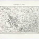 1873|Militärgeographisches Institut1:144 000
 18491:188 000
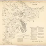
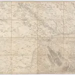 1860|K.K. Militärisch-Geographisches Institut1:14 400
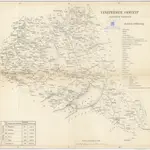 18401:280 000
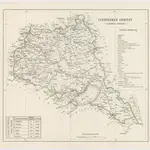 18401:280 000
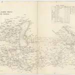 18401:280 000
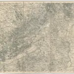 1875|Militärgeographisches Institut1:300 000
Old maps of Pannonhalma District
Discover the past of Pannonhalma District on historical maps
Old maps of Pannonhalma District
Discover the past of Pannonhalma District on historical maps
Looking for a Google Maps API Alternative?