Mappe di Čejov
 1869|K.K. Militaerischen Geographischen Institute
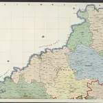
 18711:144 000
- 18441:144 000

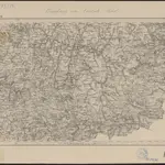
 1858|s.n.]1:118 000
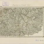
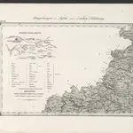 1869|Stein, Carl1:144 000
 1800|Peter franza [sic]1:240 000
 1830|Marco Berra1:192 000
Vecchie mappe di Čejov
Scoprite il passato di Čejov sulle mappe storiche
Vecchie mappe di Čejov
Scoprite il passato di Čejov sulle mappe storiche
Alla ricerca di un Alternativa all'API di Google Maps?